May 24, 2023 - Scott, Sebring, and Shark Valley
This morning I would be flying Bruce's friend Scott. Scott is an aviation enthusiast who has flown in over 22 different types of planes including a B-17.
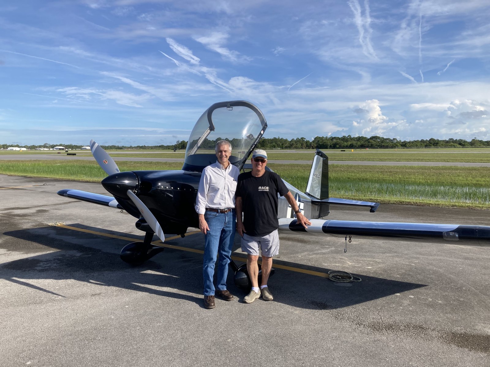
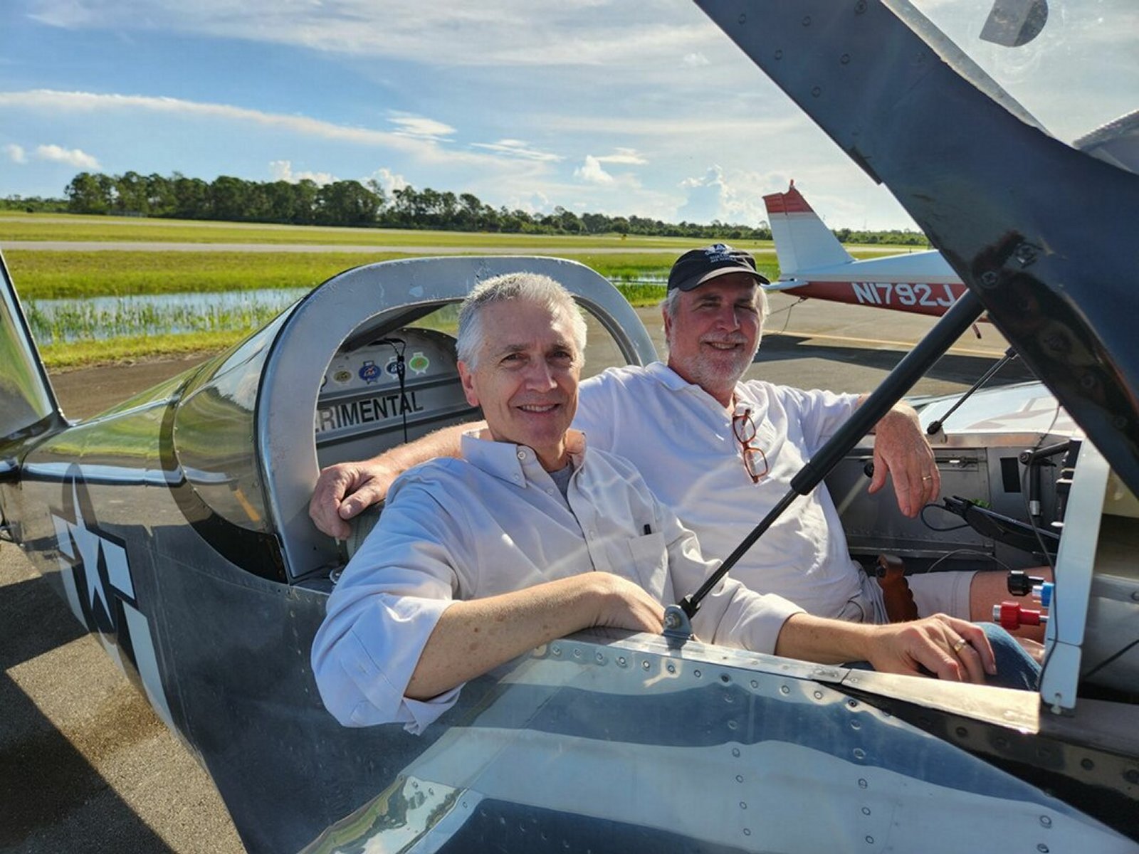
I think I succeeded. I showed Scott all the ways you can have fun in an RV. It was definately a thrill ride. He looks pretty happy.
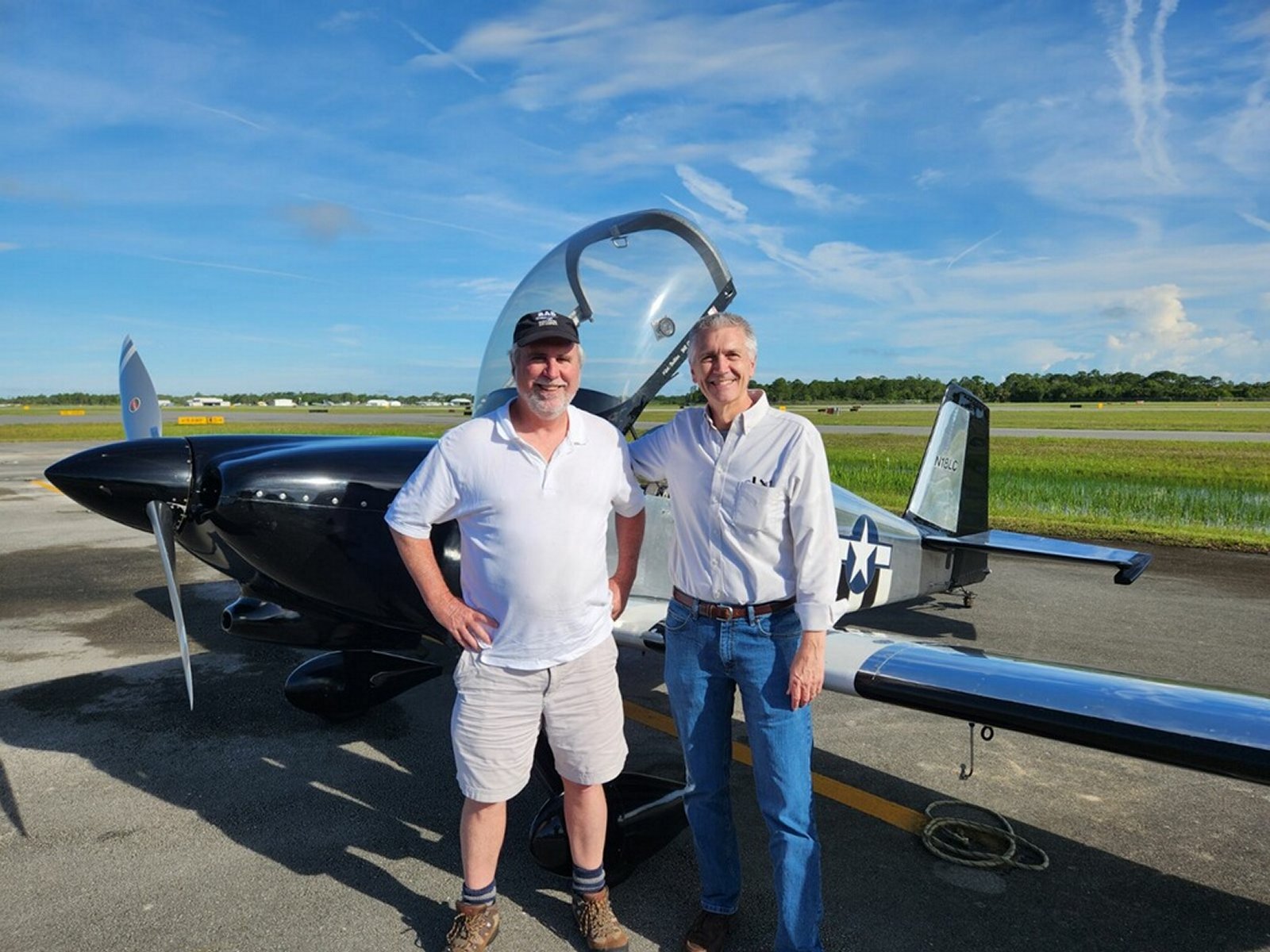
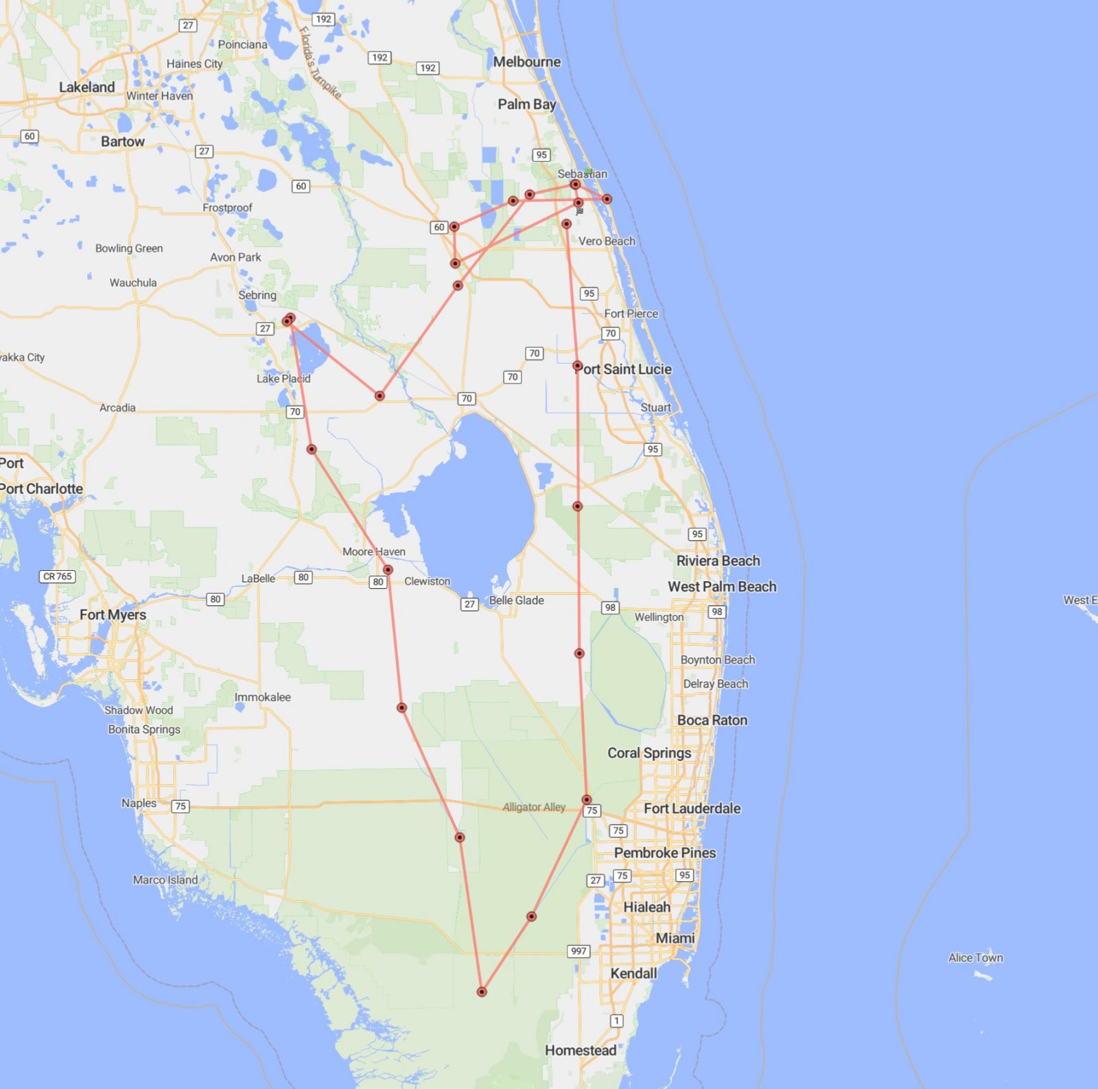
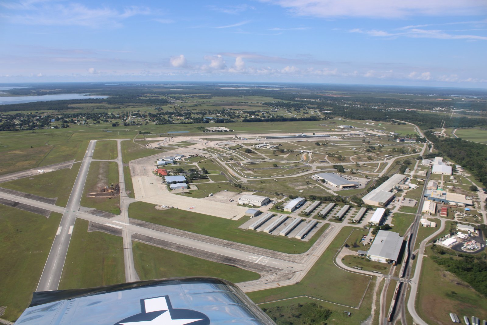
Then Bruce and I hopped into the RV and headed southeast to Sebring Airport for some breakfast.
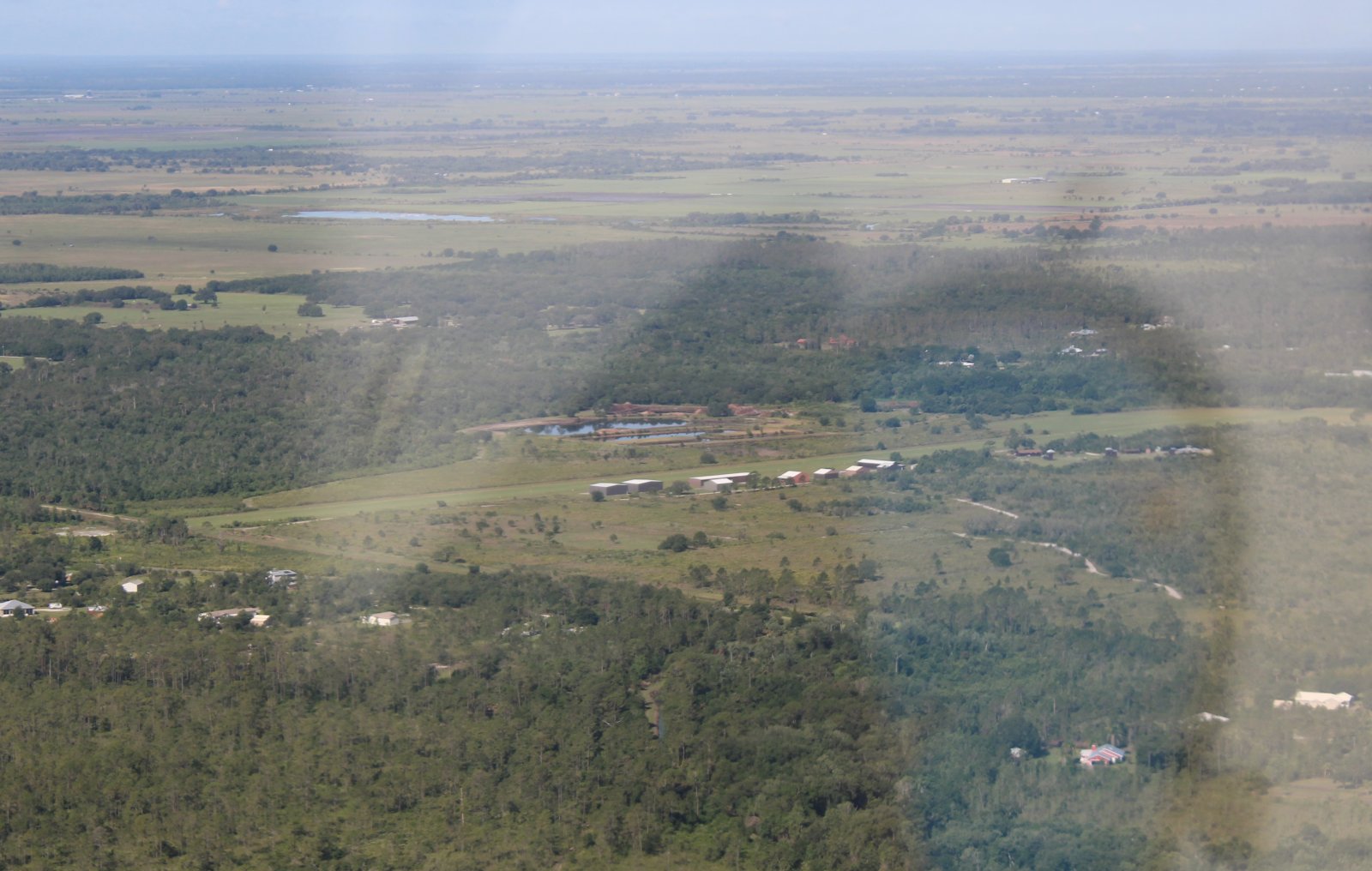
Along the way we checked out Indian Hammock Airport where we flew to last year in Bruce's Champ.
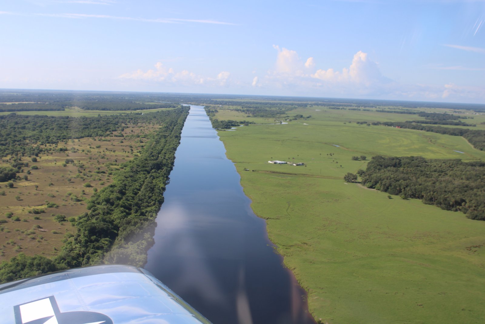
We had to deviate some to the south to avoid some restricted airspace.
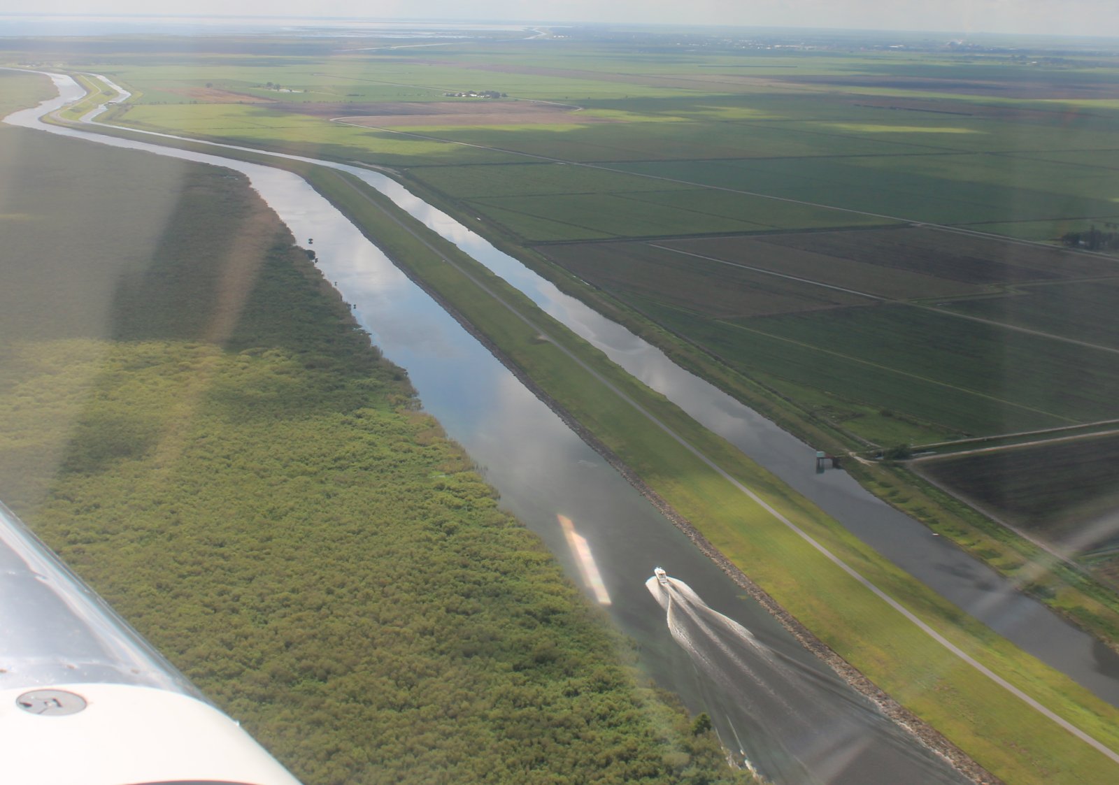
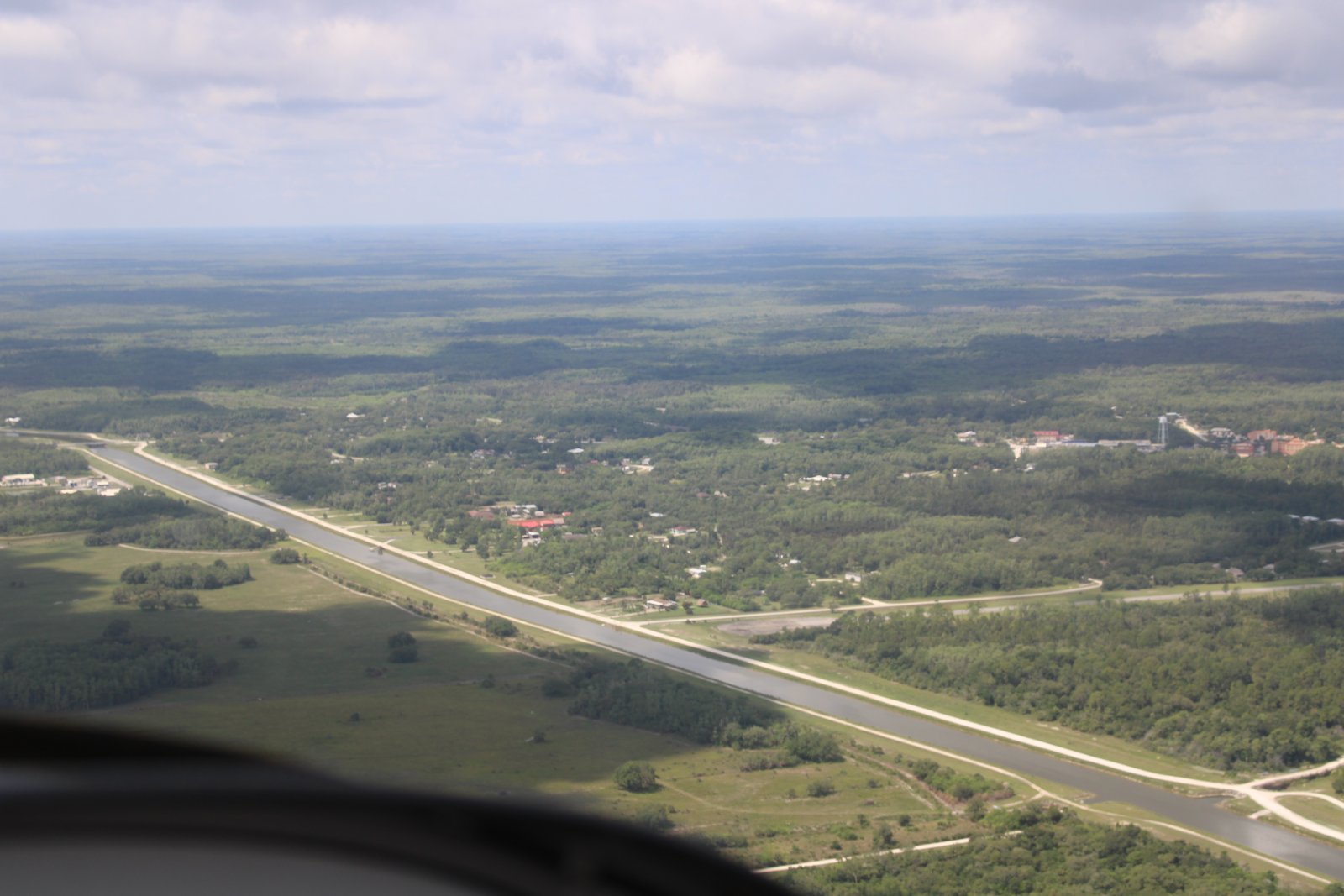
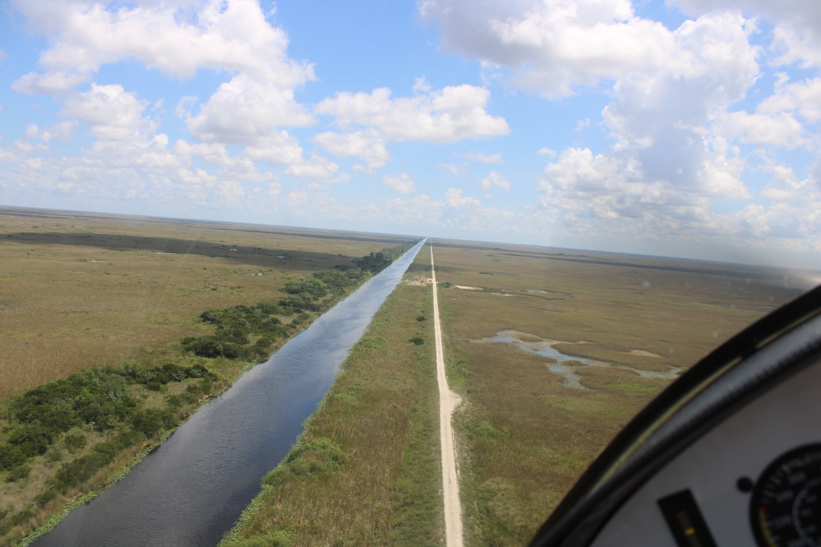
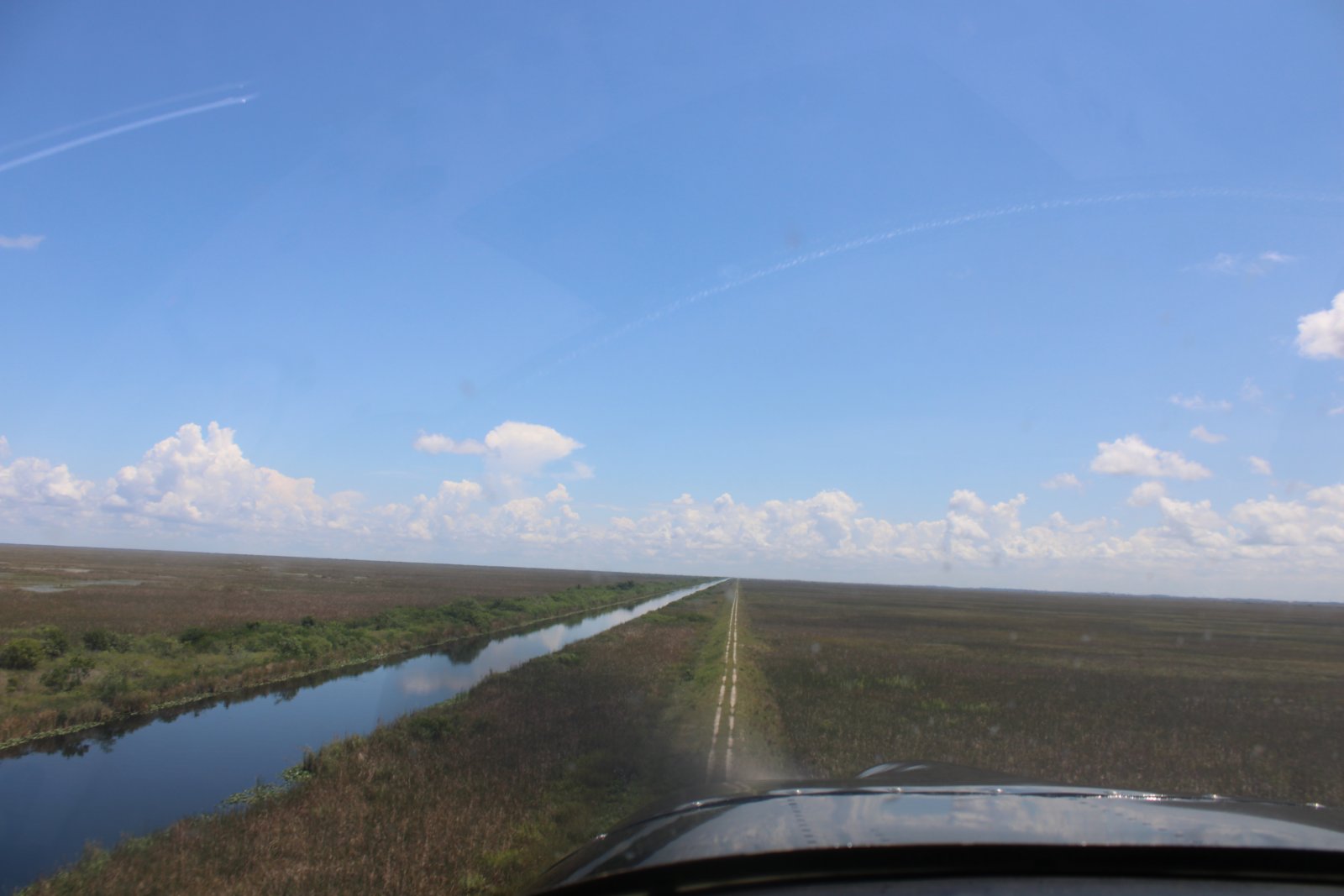
Here we are flying over a big canal -- typical Florida landscape.
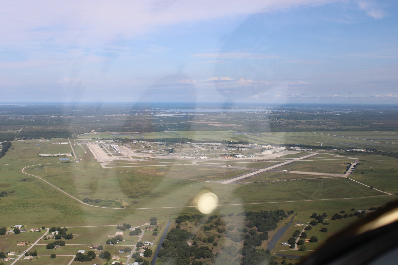
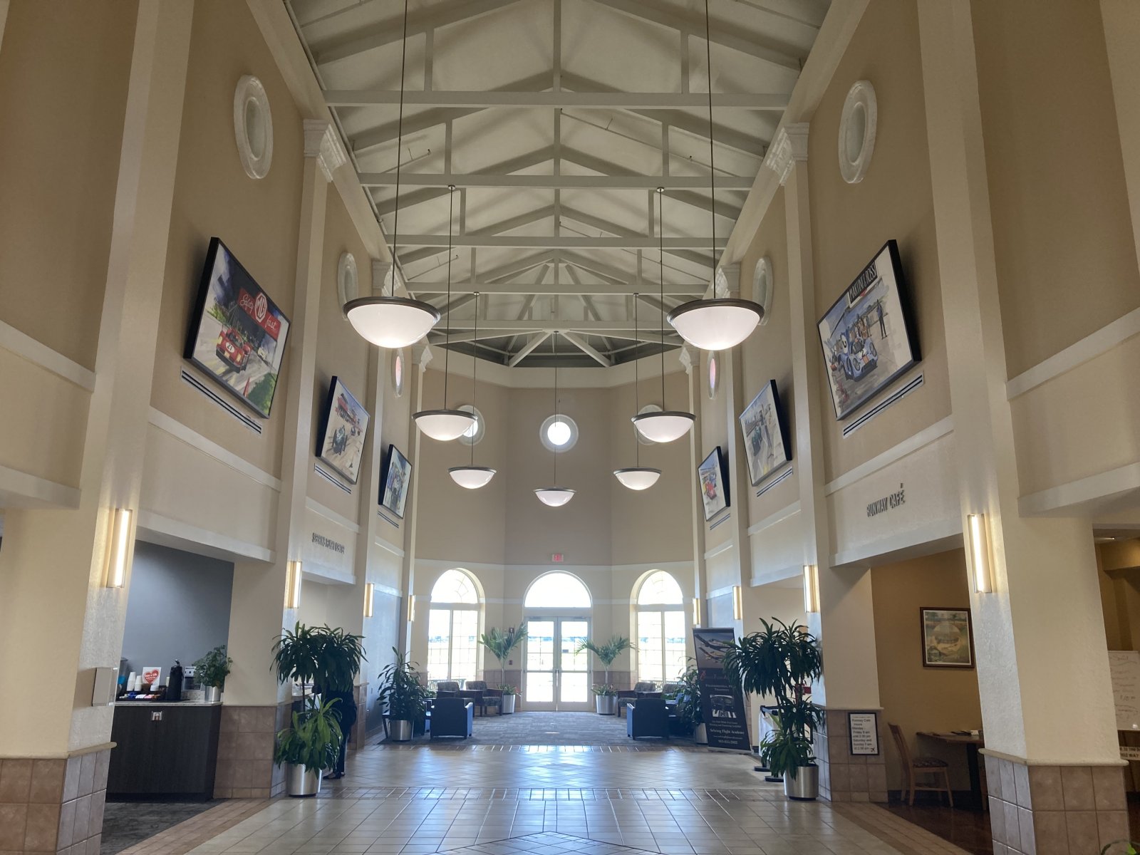
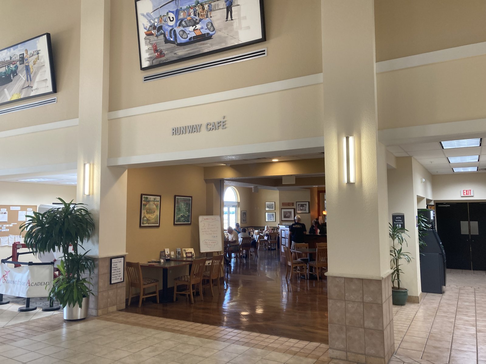
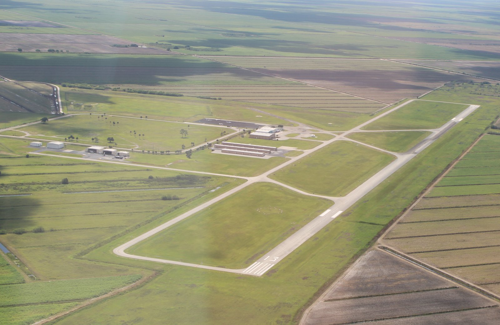
Sebring is a big airport. Two big runways, lots of hangar space, a couple of businesses, an upscale FBO with restaurant, and a racetrack. Sebring also has an excellent fuel price $5.15.
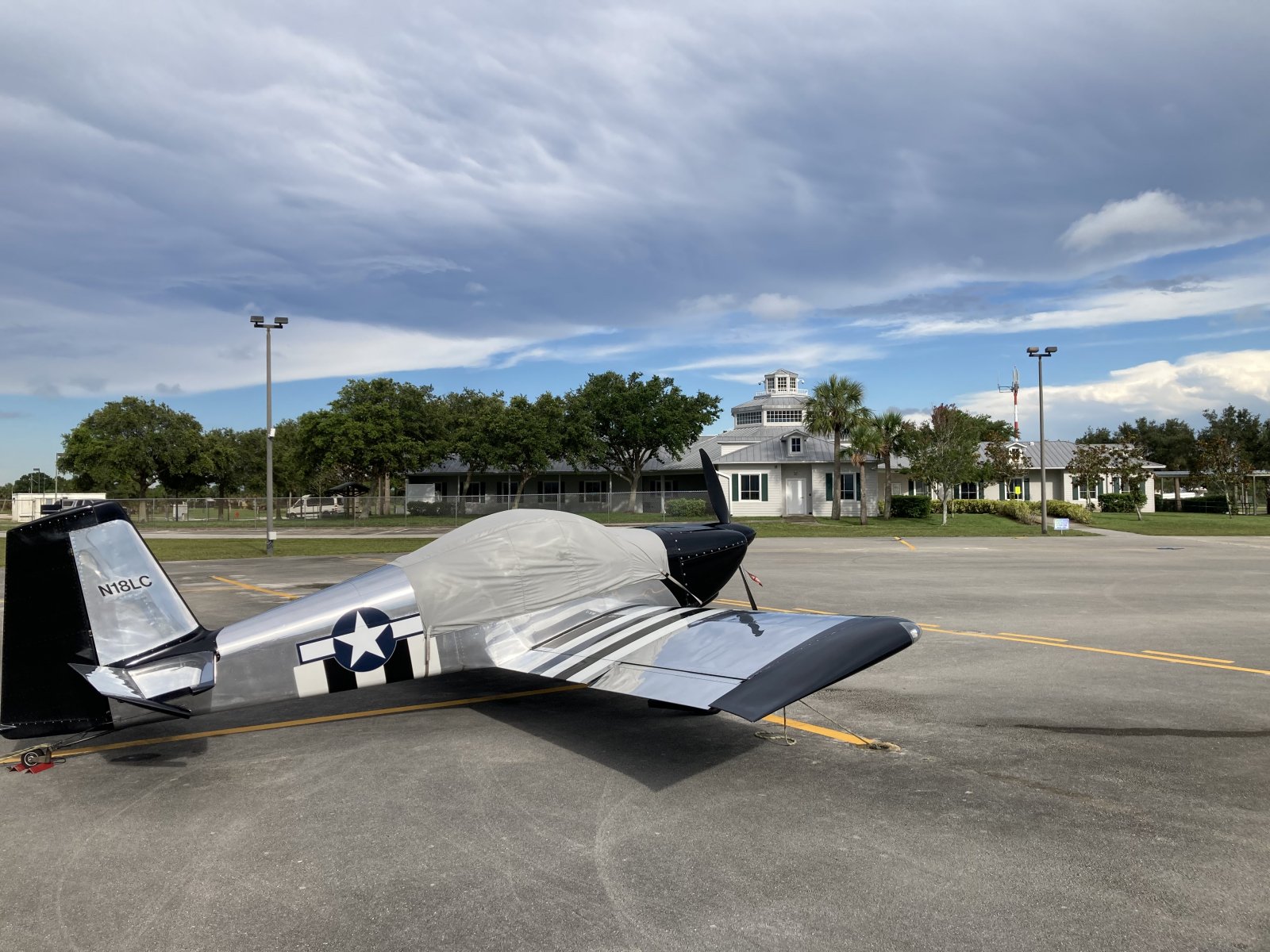
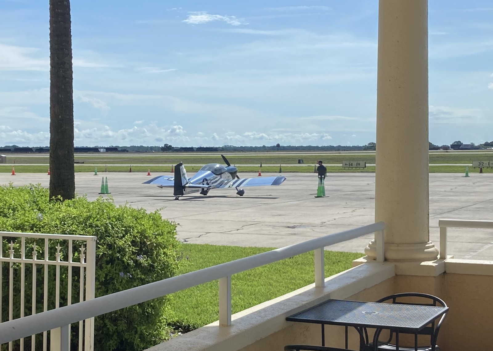
This is what we like to see; some guy checking out my plane on the ramp.
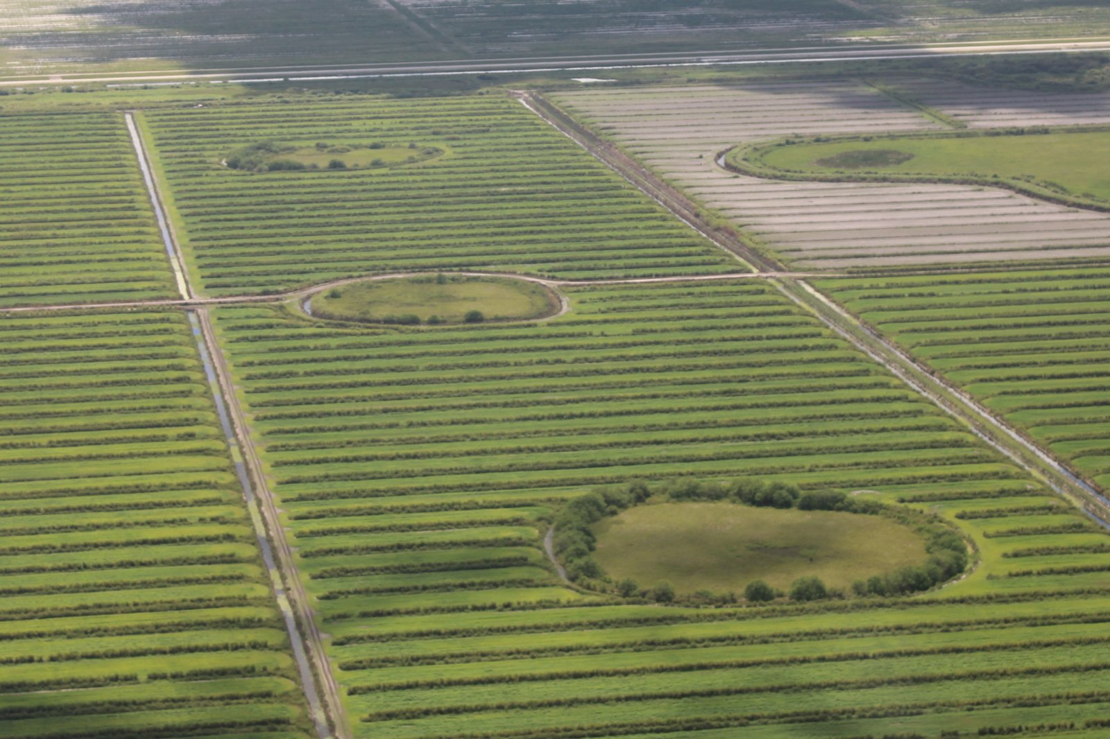
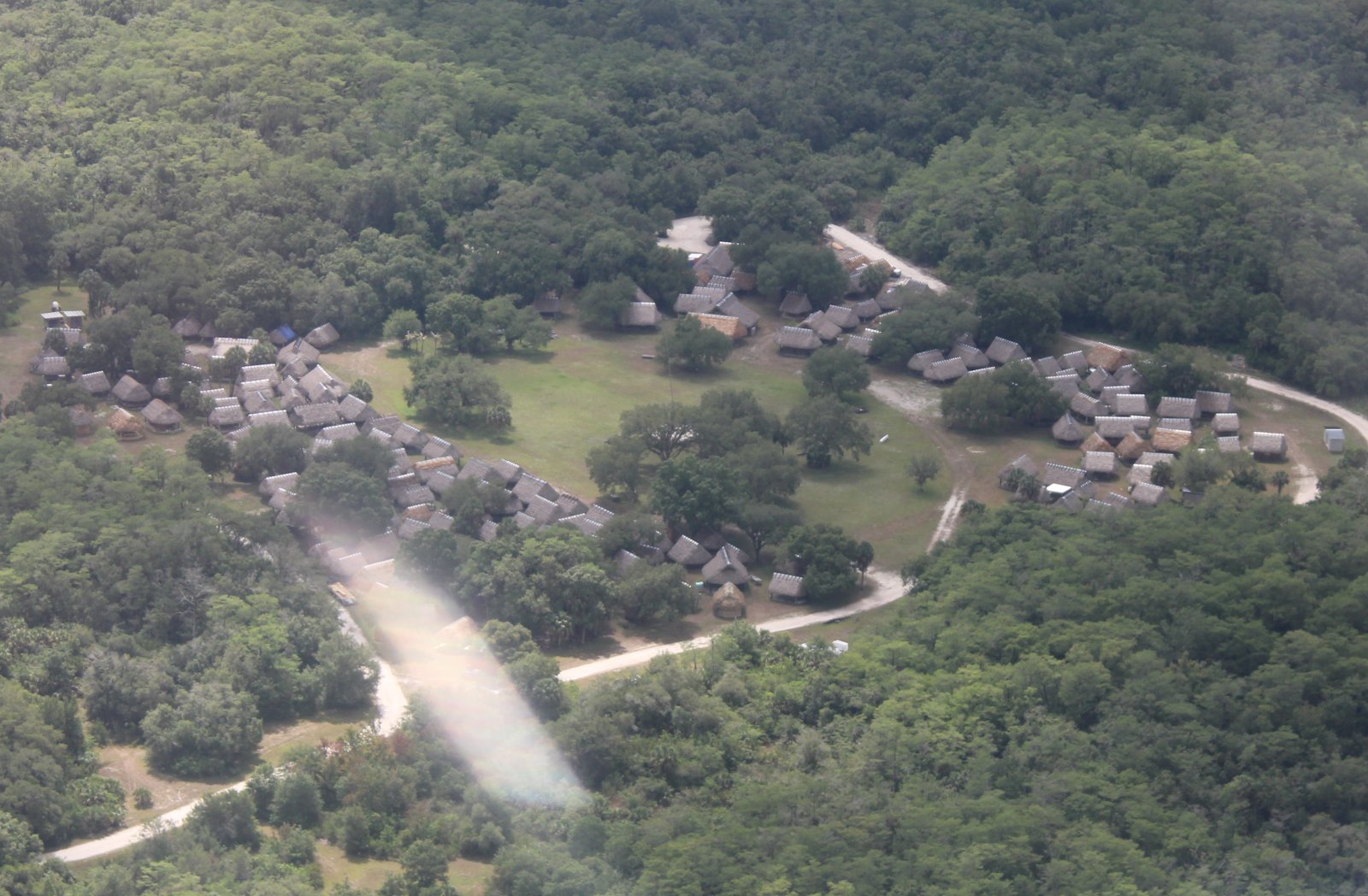
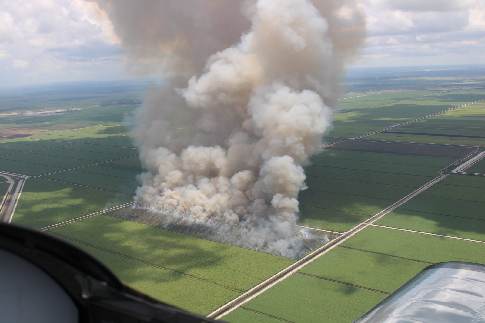
Interesting circular mounds.
We flew over this unusual thatched-hut community out by itself in the forest. Maybe an undiscovered Seminole Indian community?
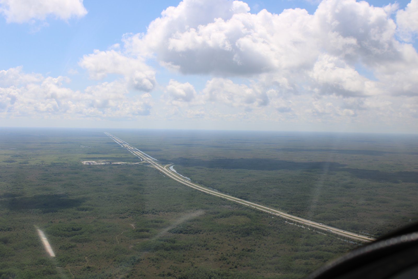
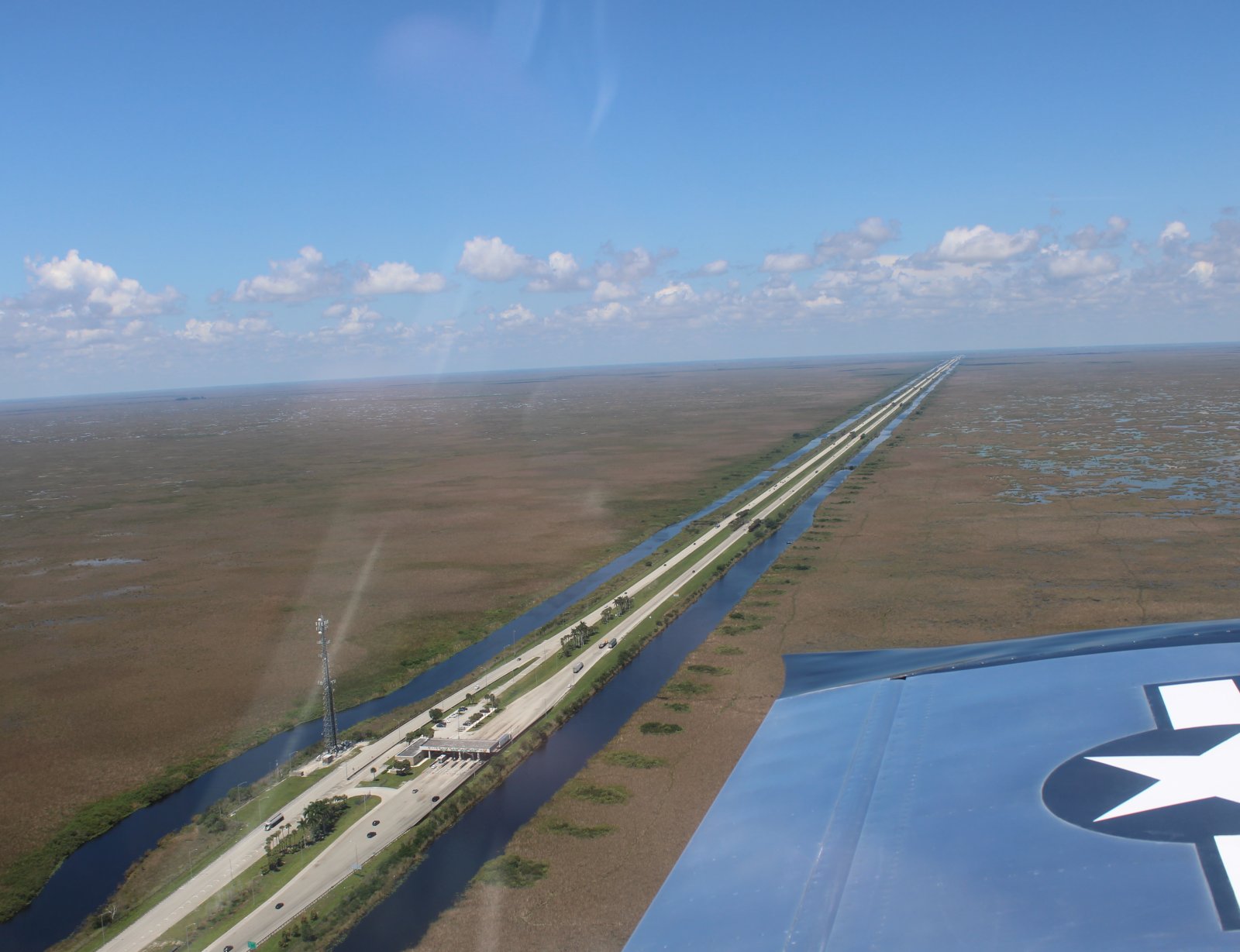
And looking west at Alligator Alley.
Still mostly trees at this point.
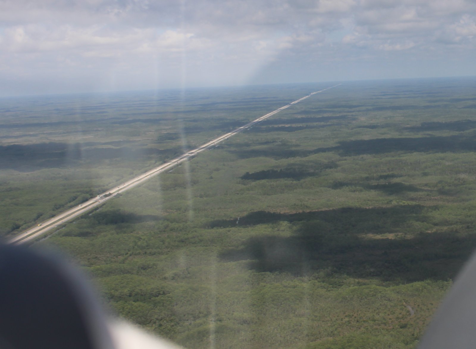
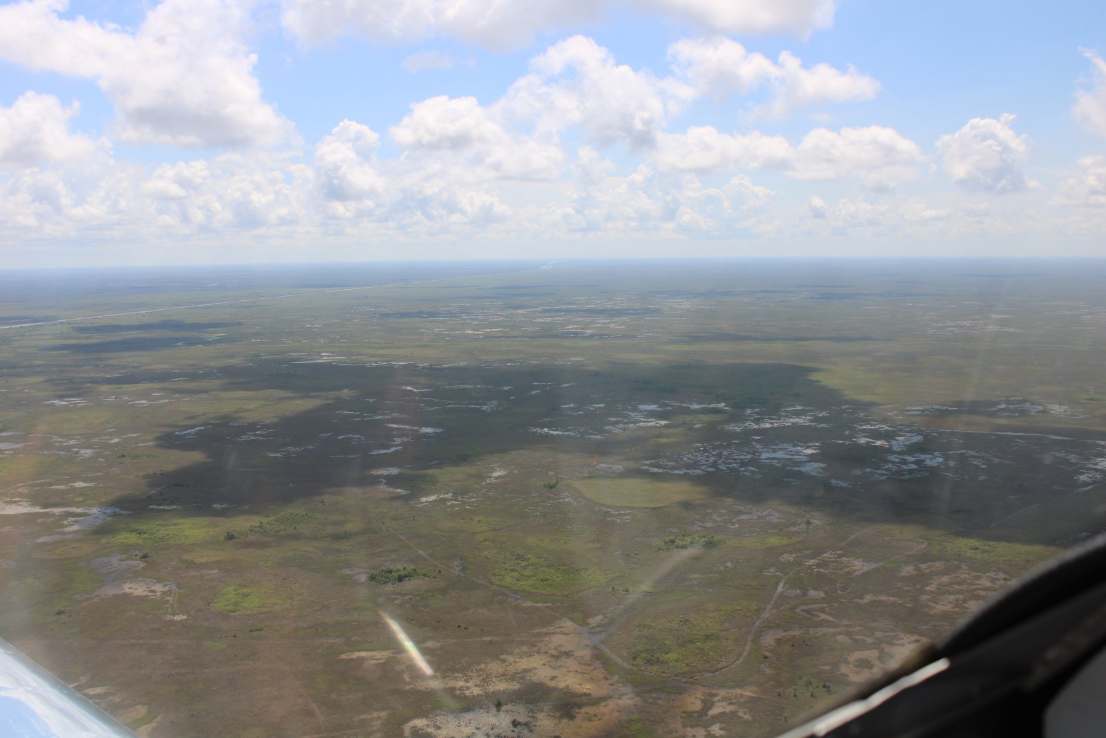
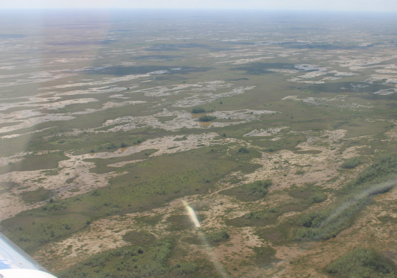
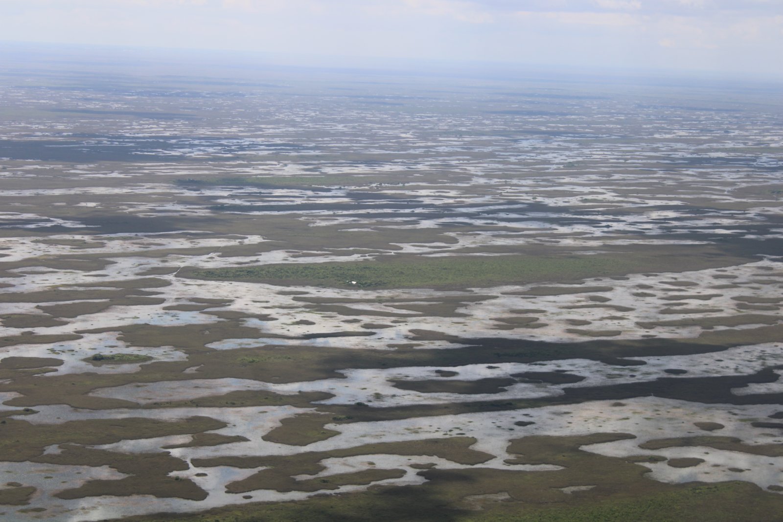
Definately marsh now.
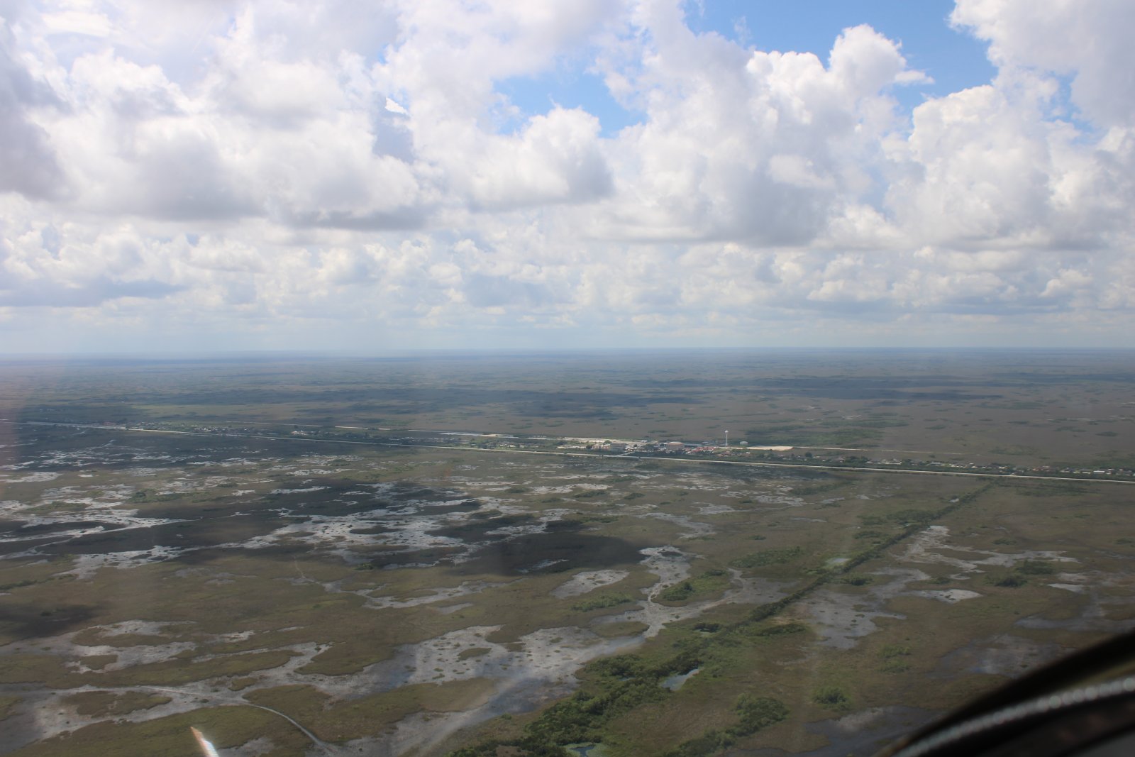
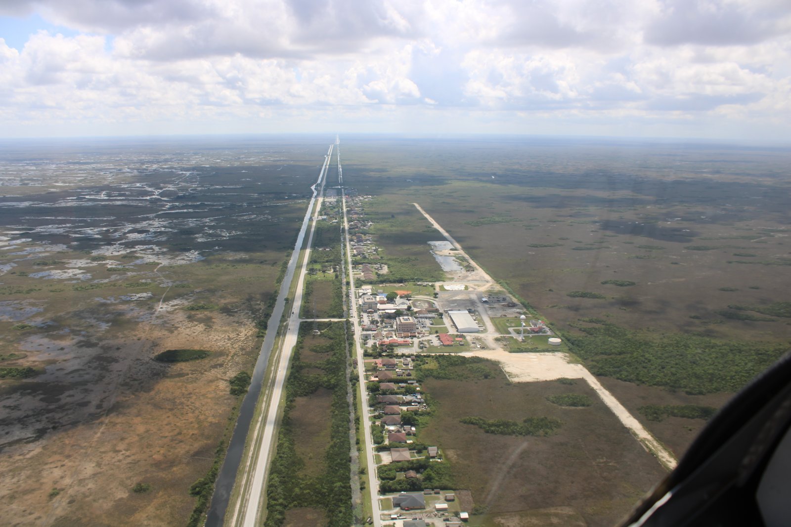
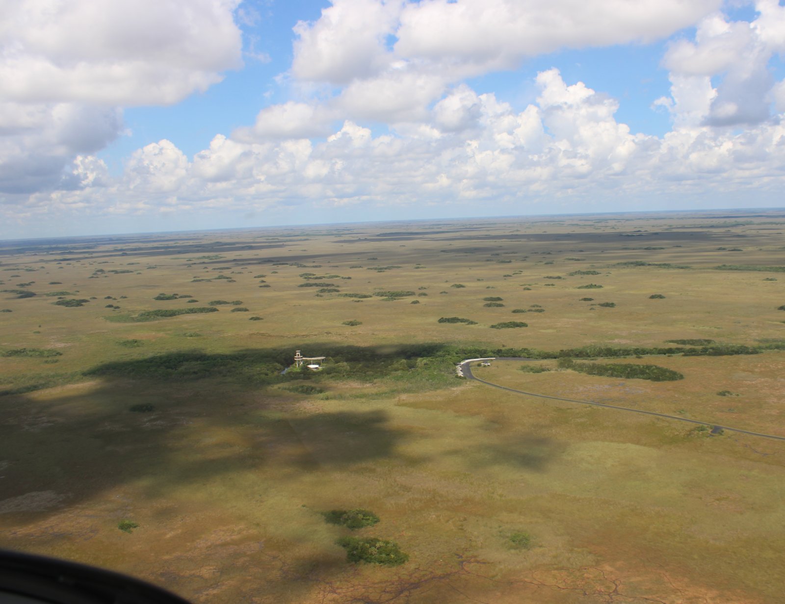
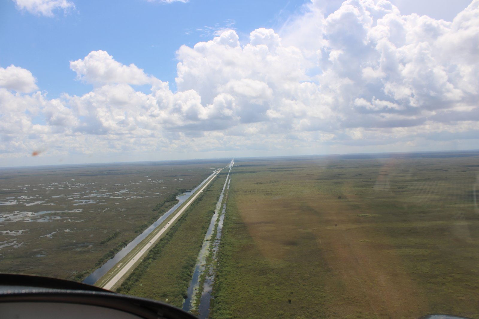
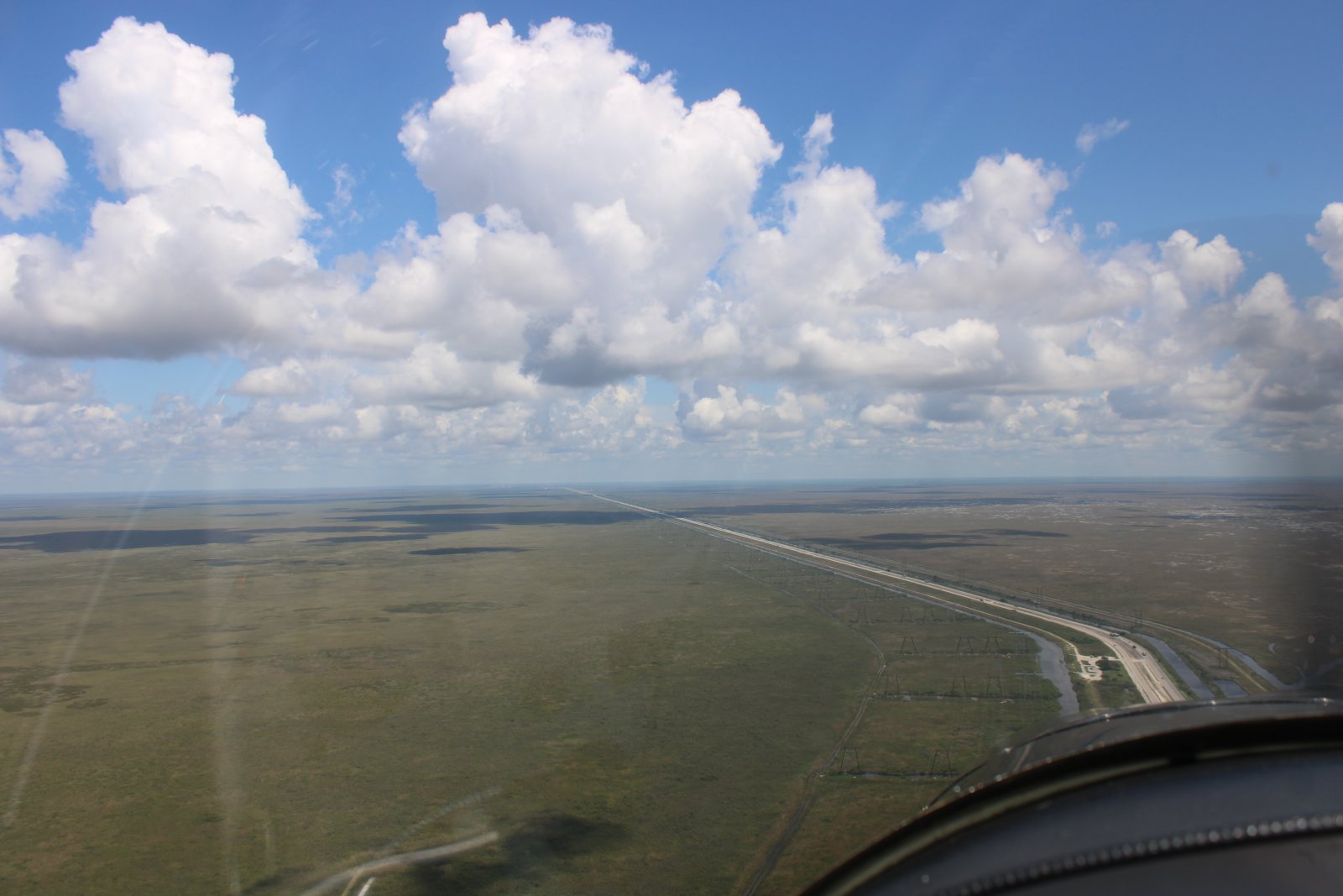
Looking east down Highway 41. We're at the "Forty Mile Bend". Parallel to the highway is the Tamiami Canal. This highway/canal leads directly to Miami.
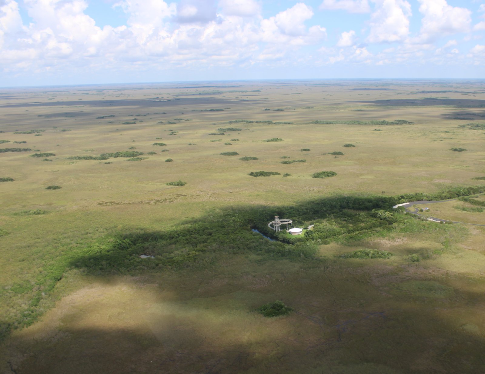
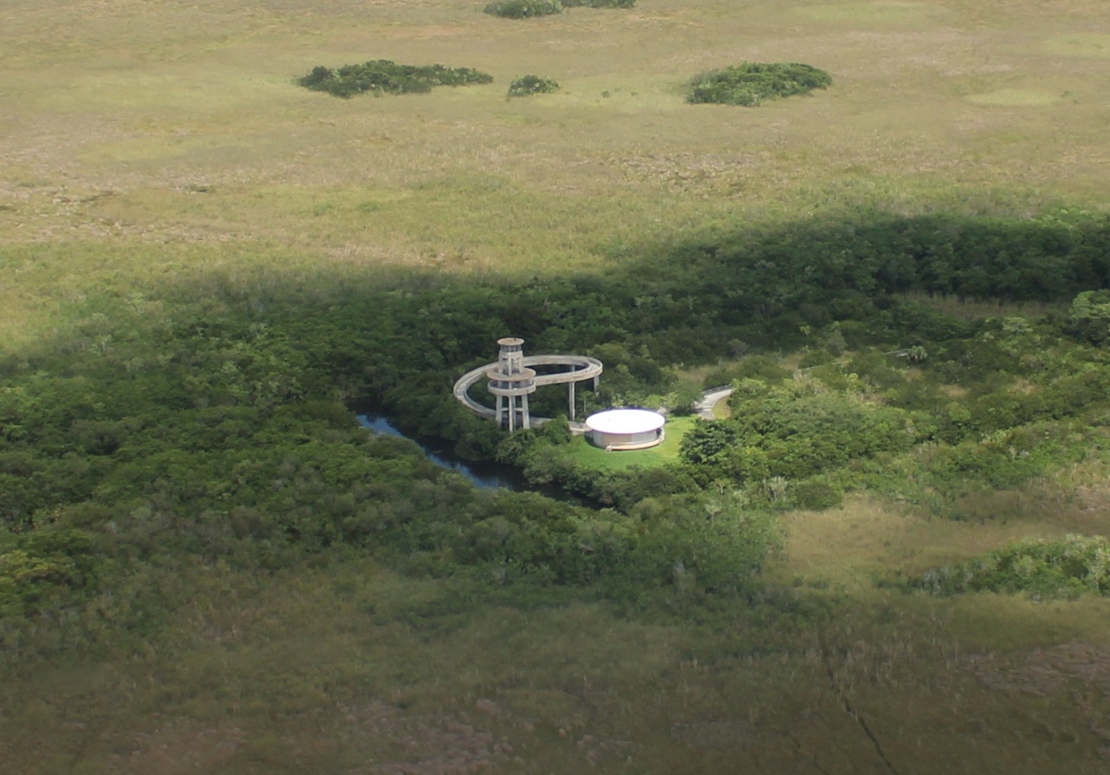
On the other side of this outpost is Shark Valley Tram Tours.
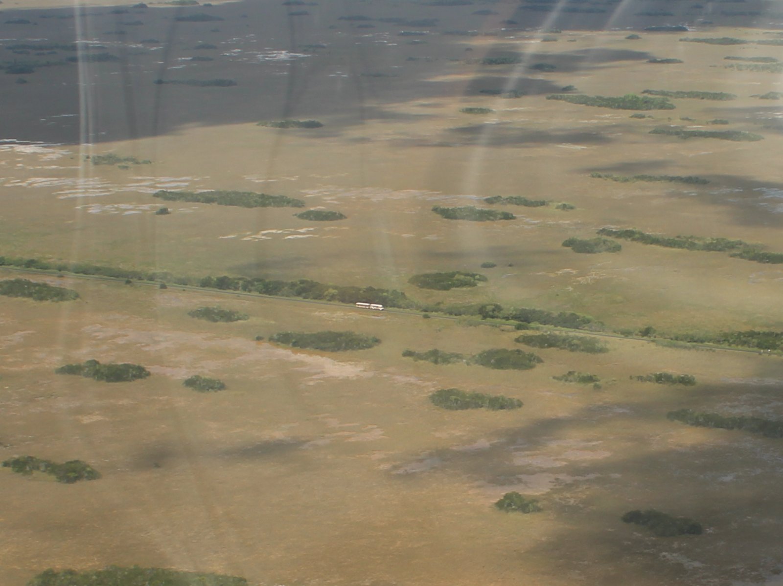
Lynnette and I did the Shark Valley tram tour last year and really enjoyed it. Link.
The two hour tram tour takes a 15 mile loop trail, stopping at an observation tower 7.5 miles south for about 20 minutes.
In this picture, you can see the southbound trail portion at lower left. The northbound trail portion is a straight run from left to right. You can see a tram at far right.
It's also possible to walk or bike the loop trail.
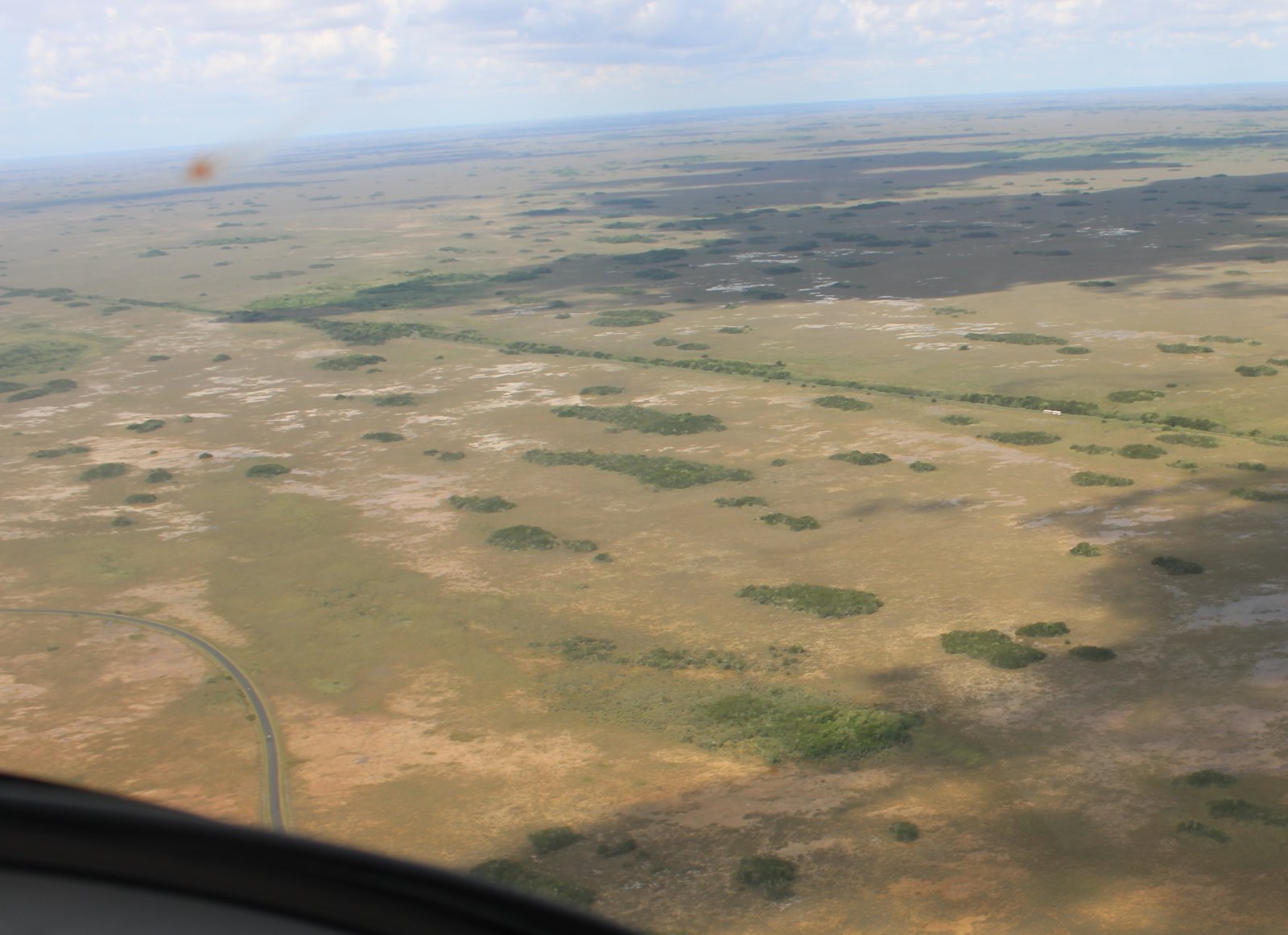
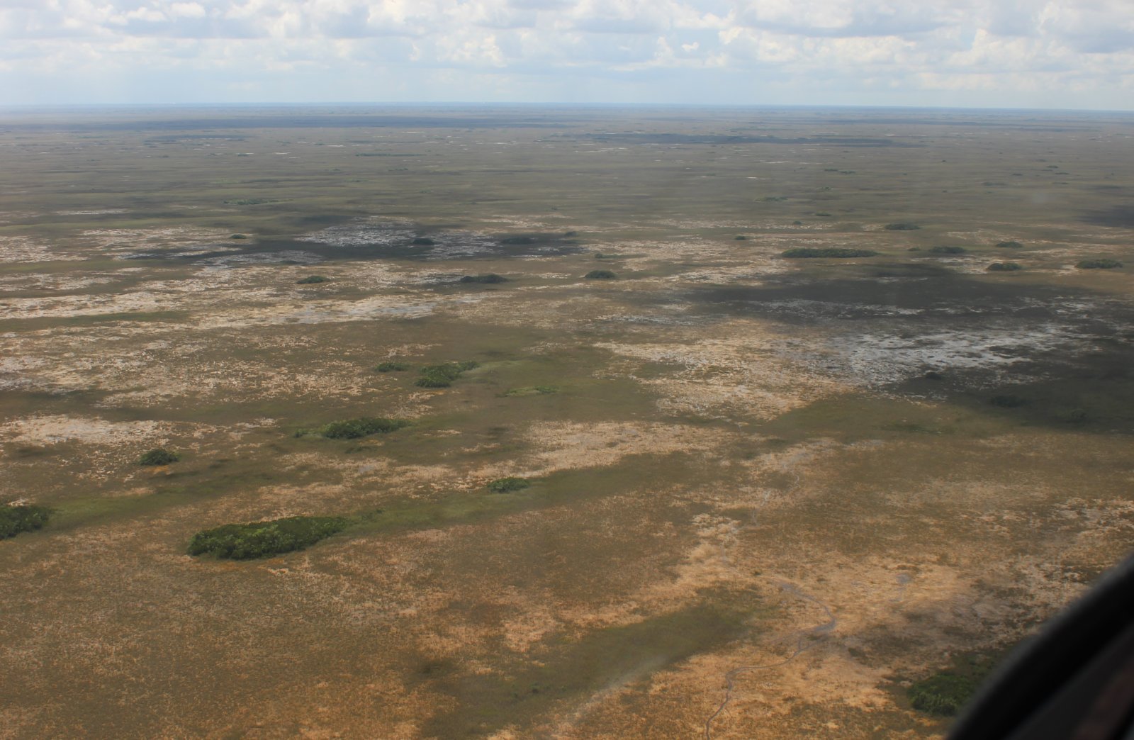
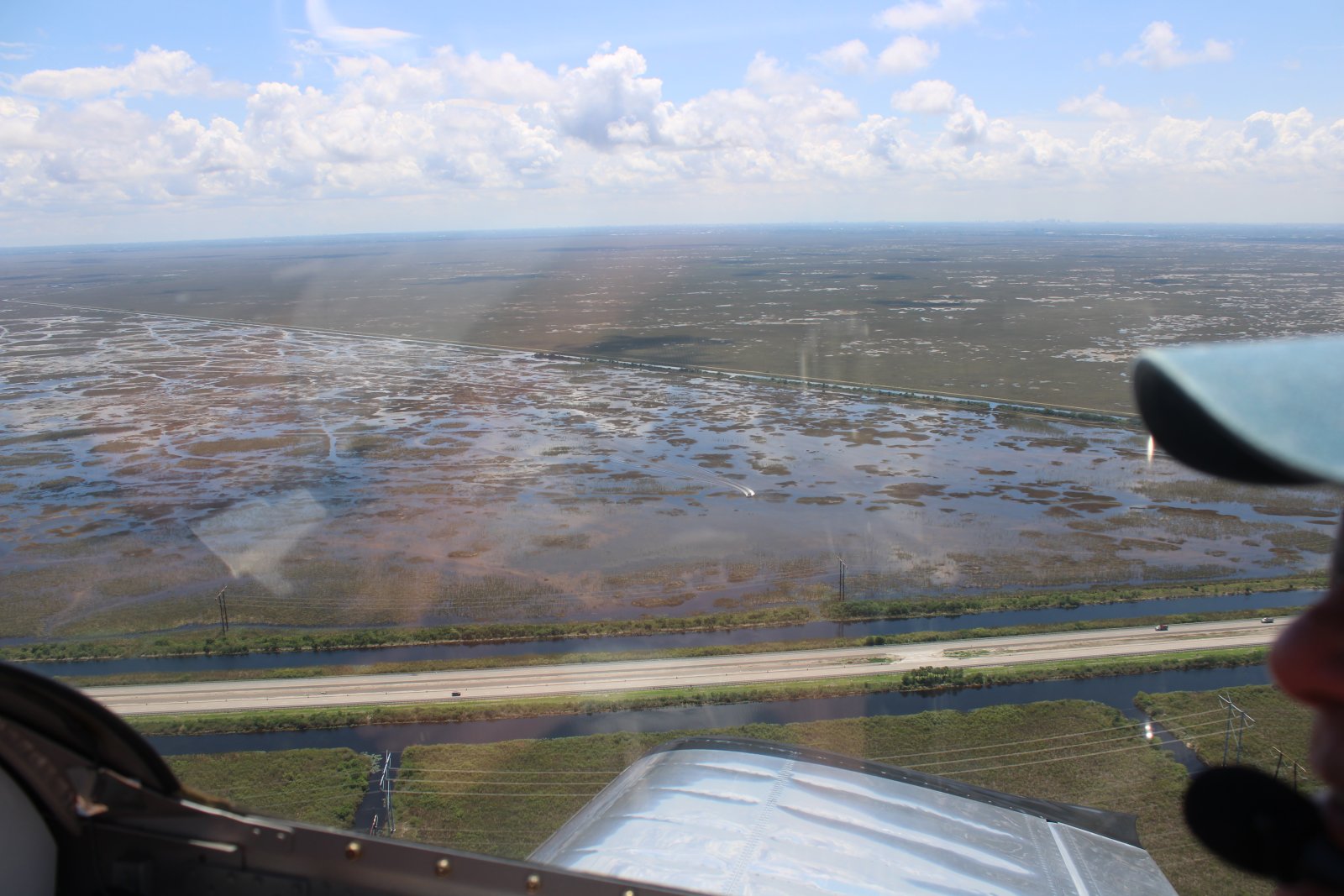
The everglades look a lot different from the air than they do from the ground.
Now following Highway 41 east for a little while.
Then we turn north and head for home.
A little low-level.
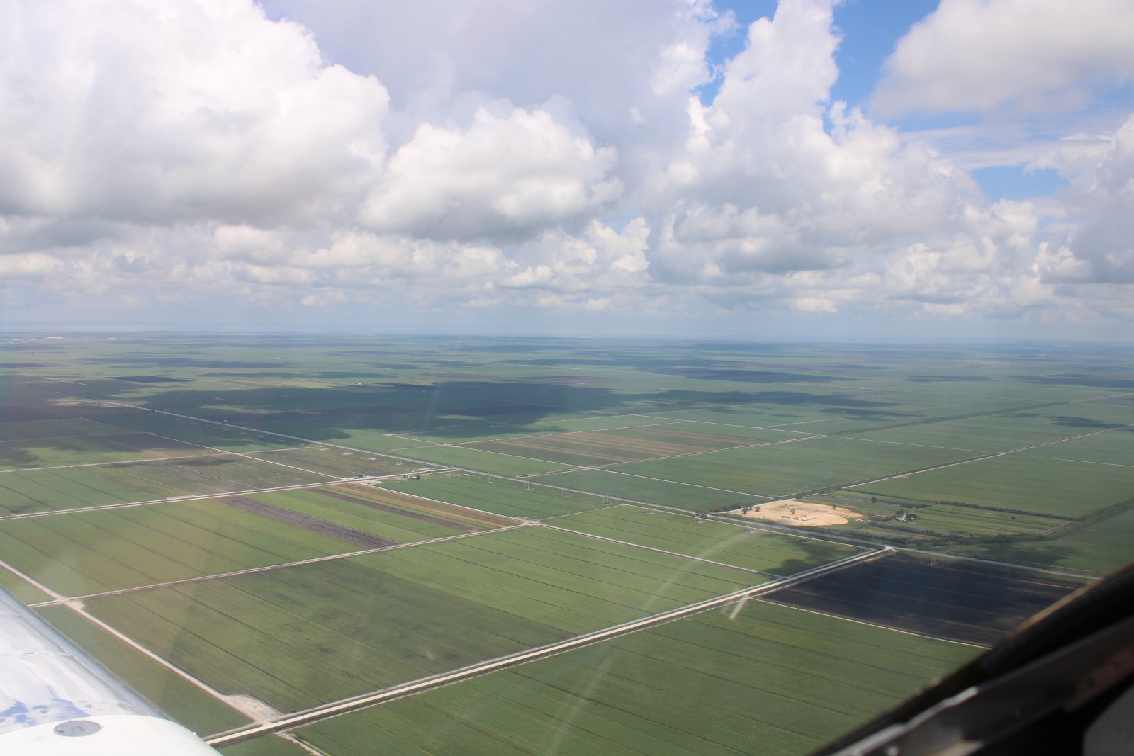
Suddenly we were out of the everglades and over farmland.
The clouds are building again.
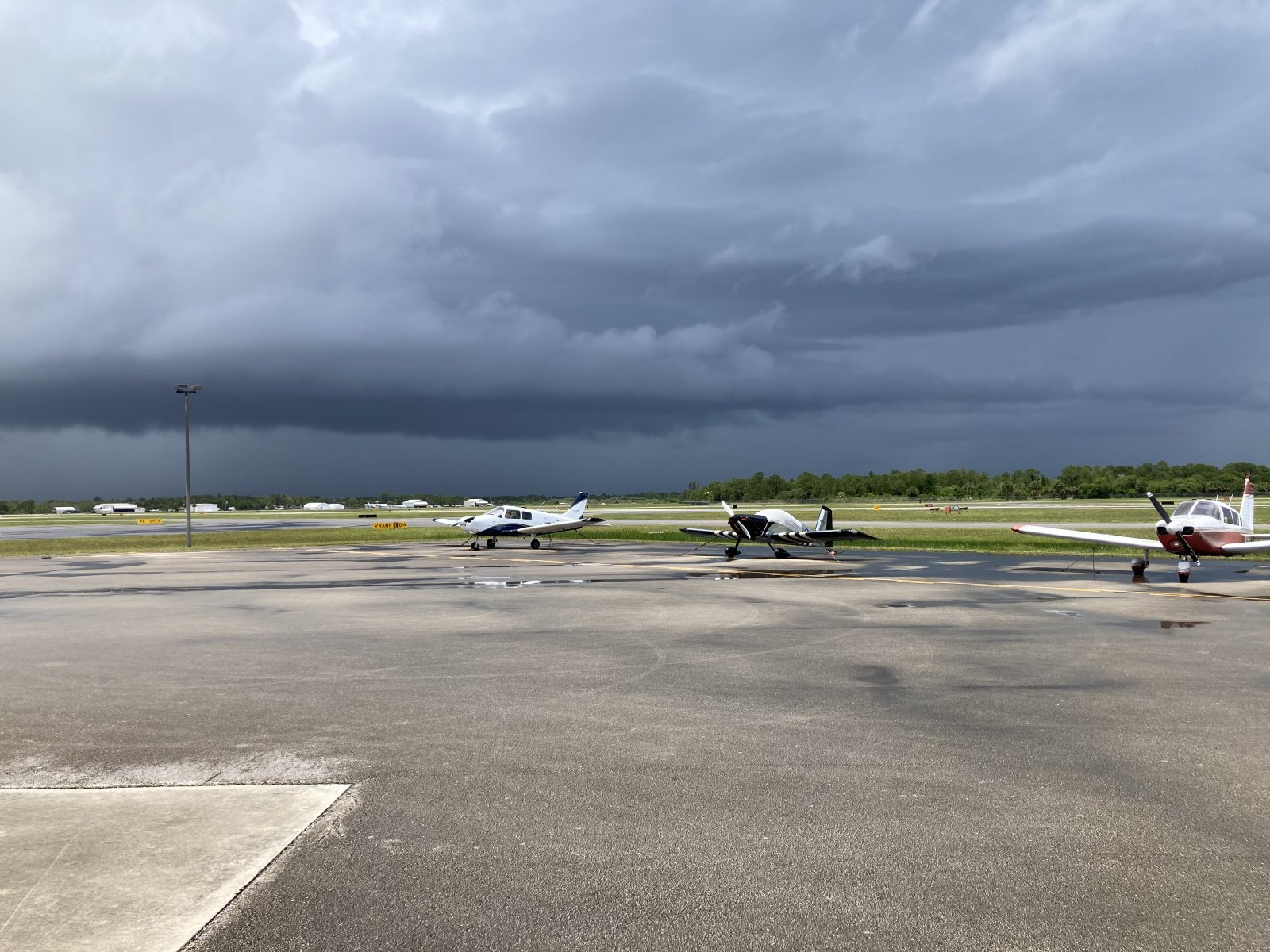
We thought Sebastian might be under a rain storm, but it had already passed by the time we arrived. So we didn't get rained on today.
We celebrated a successful flying day by heading over to the Tiki Bar!